ചൈനയ്ക്കെതിരെ 
ഇന്ത്യൻ പോർമുന ചൈനയ്ക്കെതിരെ 
ഇന്ത്യൻ പോർമുന

The bloody confrontation between Indian and Chinese soldiers in the Galwan Valley on June 15 was the latest episode in the six-decade-old border dispute between the two countries. What is boiling between the nuclear-armed neighbours? Where does India stand in its preparedness for war?

India China War 2020
India China War History

A recap of the dispute

  • 1959

    October 21

    The Chinese army target a 20-member police party on the border with north east Ladakh, killing 17 police officers.

  • 1962

    October 20

    China's surprise attack on India sparks a war. China announces ceasefire on November 21.

  • 1965

    September

    Chinese troops open fire on the Sikkim border.

  • 1967

    China provokes India at Nathu La on the Sikkim border. India thwarts the Chinese attempt to build a bunker near the Indian observation post at Sebu La in August. Bloody confrontations follow in September and October. India lost 88 soldiers and China 340 personnel.

  • 1975

    October

    Four Indian soldiers die in Chinese attack at Tulung La in Arunachal Pradesh.

  • 1976

    India and China re-establish complete diplomatic relations. There has been no firing incident since then.

  • 1986

    The Chinese forces infiltrate into the north eastern part of the strategic Namka Chu Valley in Arunachal Pradesh. Tense moments fizzle out without a confrontation.

What led to the violence in Galwan in 2020?

Podcast

0:00 0:00

What is the dispute between India and China?

The border between India and China was fixed along the McMahon Line as per the Simla Convention signed by the British and Tibetan representatives in 1914. China refuses to accept this position. China wants to fix the border along the Karakoram Tract in the west. India wants the Kunlun Ridge to be the border.

India China Border  Map Map is illustrative
Bhutan Nepal Ladakh Xinjiang Aksai Chin Tibet Sikkim Galwan Valley Arunachal Pradesh Dok La Nathu La
Keep Scrolling
Map is illustrative

Significant border areas

The India-China border is 3,488 kilometres long

Ladakh

Ladakh, which lies between Pakistan-controlled areas and Chinese-controlled Aksai Chin, is strategically important for India. It was tough to transport weapons to the mountainous area. New bridges and roads have solved the problem to an extent.

Aksai Chin

The perennially disputed land on the border. If China takes possession of the area, it can build a direct road from Xinjiang to Tibet. China has already built roads and other facilities to supply weapons to this area. China has a large military deployment in the area. About 38,000 square kilometres of uninhabited land in Aksai Chin, occupied in 1962, is still in the possession of China.

Dok La

Dok La is 30 kilometres away from Nathu La in Sikkim. The 100-square kilometre area is at the trijunction of India, Bhutan and China. The area is heavily militarised even in peak winter. If China manages to claim this area, it can sever road and rail transport to north-eastern states through shelling in Siliguri Corridor.

Sikkim

Sikkim joined the Indian Union in 1975. China did not recognise the accession until 2004 when an official map featured Sikkim as part of India for the first time. In 2017, however, China published a map claiming a disputed part of Sikkim as their own.

Arunachal Pradesh

Though China retreated from Arunachal Pradesh after advancing through the state during the war of 1962, it has not abandoned its claim over many parts of the state. The claim is that Arunachal Pradesh is part of southern Tibet.

The Galwan Valley

China is miffed about India's move to construct a road in this strategic valley. The road is completely built in Indian territory but China objects to it because the road makes the area accessible to the Indian army in any season.

8 Fingers

Eight mountain ranges, called 8 Fingers in military lingo, are situated on the border near the Pangong Lake in eastern Ladakh. They are at an elevation of 14,000 feet from sea level. Four of those mountain ranges are in Indian territory and other four in disputed territory. India has asserted that the eighth mountain range is the actual border. China insists that the fourth mountain range is on the border. China entered eight kilometres into the Indian territory to create tension in the region.

Pangong Lake

F1 to F4 are under the control of India. F5 to F8 are claimed by China.

Given the nature of the dispute, India and China have decided to conduct separate patrols between F4 and F8. Both patrols have to go back to their bases after the inspections. When the Chinese personnel broke that agreement and pitched tents on F4, it led to the confrontation. They also blocked Indian troops from moving from F4 to F8.

What happened in Galwan on June 15?

(Podcast)

0:00 0:00

Patrol point 14 in Galwan where Indian and Chinese soldiers fought each other.

Evidence of Chinese incursion

Chinese military vehicles at patrol point 14 zone which is under the control of India. Photo taken after the attack on June 15. The satellite image was released by Planet Labs on June 16.

India's brave sons

20 soldiers of the 16 Bihar Regiment were martyred in Galwan.

  • Col. B Santosh Babu
    Col. B Santosh Babu (Telangana)
  • Naib Subedar Mandeep Singh (Punjab)
    Naib Subedar Mandeep Singh (Punjab)
  • Naib Subedar Satnam Singh (Punjab)
    Naib Subedar Satnam Singh (Punjab)
  • Naib Subedar Nuduram Soren (Odisha)
    Naib Subedar Nuduram Soren (Odisha)
  • Hawildar K Palani (Tamil Nadu)
    Hawildar K Palani (Tamil Nadu)
  • Hawildar Sunil Kumar (Bihar)
    Hawildar Sunil Kumar (Bihar)
  • Hawildar Bipul Roy (West Bengal)
    Hawildar Bipul Roy (West Bengal)
  • Hawildar Naik Deepak Kumar (Madhya Pradesh)
    Hawildar Naik Deepak Kumar (Madhya Pradesh)
  • Sepoy Rajesh Orang (West Bengal)
    Sepoy Rajesh Orang (West Bengal)
  • Sepoy Ganesh Ram (Chhattisgarh)
    Sepoy Ganesh Ram (Chhattisgarh)
  • Sepoy Kundan Kumar Ojha (Jharkhand)
    Sepoy Kundan Kumar Ojha (Jharkhand)
  • Sepoy Ganesh Hansda (Jharkhand)
    Sepoy Ganesh Hansda (Jharkhand)
  • Sepoy Chandrakant Pradhan (Odisha)
    Sepoy Chandrakant Pradhan (Odisha)
  • Sepoy Ankush (Himachal Pradesh)
    Sepoy Ankush (Himachal Pradesh)
  • Sepoy Gurbinder
    Sepoy Gurbinder (Punjab)
  • Sepoy Gurtej Singh (Punjab)
    Sepoy Gurtej Singh (Punjab)
  • Sepoy Kundan Kumar
    Sepoy Kundan Kumar (Bihar)
  • Sepoy Chandan Kumar
    Sepoy Chandan Kumar (Bihar)
  • Sepoy Aman Kumar
    Sepoy Aman Kumar (Bihar)
  • Sepoy Jai Kishore Singh (Bihar)
    Sepoy Jai Kishore Singh (Bihar)

Why is Galwan in the crosshairs of China?

China has changed its previous position and started staking claim on Galwan. The shift in mindset started with India building an airstrip – the highest in the world at 16,614 feet – at Daulat Beg Oldi in Ladakh. The airstrip was originally built during the war of 1962 but abandoned in 1968. In 2008, however, India developed the airstrip and built the Durbuk-Shyok-Daulat Beg Oldi Road connecting the strip.

(Map is illustrative)
Leh Hot Springs Pangong Mountain Ranges Aksai Chin Galwan Daulat Beg Oldi Line of Control India China

Galwan

A valley in eastern Ladakh that touches the Line of Actual Control. Controlling Galwan will allow China to monitor India's airstrip and roads and to seize control of them in a rapid action. China views Galwan as a launchpad for the Indian army to enter Aksai Chin.

Hot Springs

A check post under the control of the Indo-Tibetan Border Police (ITBP). Controlling the area will allow China to monitor the ITBP base in the vicinity. The Chinese army intruded into this region as well. Indian and Chinese army personnel come face to face here.

Pangong Mountain Ranges

Mountain ranges – F1 to F8 – are on India's side of the Line of Actual Control. Chinese army came up to F4. Galwan is 110 kilometres from Pangong

India's bulwark against China

China's defence budget runs into $17,900 crore, compared to $,6,600 spent by India. Indian soldiers, however, makes up for the resources with valour.

India China
Total soldiers 14.44 lakh 21.83 lakh
Reserve personnel 21 lakh* 5.1 lakh
Fighter planes 710 1603
Helicopters 722 911
Tanks 4292 3500
Cannons 4295 7400
Aircraft carrier 1 2
Submarines 16 74
Warships 46 138

*Reserve army: Reserve personnel are based in non-battle fields. They can be mobilised to the battle fields in times of wars. When they are transported directly and immediately from the plains to mountains, they may not be acclimatised. So they will be first taken to an elevation of 9,000 feet above sea level to get used to the climate and change in temperature and pressure. After seven days, they are taken higher to 11,000 feet above sea level to train for seven more days. After physical examinations, they may be moved to the border areas at 14,000 feet above sea level. India had started this acclimatisation programme as early as May when signs of skirmishes had appeared.

India's top 12 weapons
against China

Rifles: Ghatak, INSAS

Ghatak has the distinction of being the most deadly rifle in the Indian army. The indigenous rifle was touted as an alternative to AK-47. With a range of up to 400 metres, it is an accurate weapon. It is also suitable for immediate response. It can fire 600 rounds per minute. INSAS rifle can fire 600 to 650 rounds per minute. It is widely used in the Indian army. It has a range of up to 400 metres. The excellent rifles and an army that has amassed rich experience in fighting with those firearms are India's assets.

T-90

The Russian-made T-90 Main Battle Tank is apt for tank warfare. It can launch missiles. Features include 12.7 mm machine guns that can be operated remotely. These machines come handy in terrains like Galwan. Since Aksai Chin is a plateau, the tanks can be used there as well. India signed a contract in 2019 to buy 1,600 new T-90 tanks to replace T-72.

INS Vikramaditya

The Russian-made aircraft carrier is the vanguard of Indian Navy. It can house 1,600 to 1,800 navy personnel at the same time. It can carry 24 MiG29K and 10 choppers at the same time. It has a top speed of 56 kilometres per hour. With 22 decks, it is as high as a 20-floor building. The length is 284 metres. In case of a war, INS Vikramaditya will sail from the Eastern Fleet, accompanied by other warships.

INS Arihant

India's first indigenously developed nuclear-capable submarine. With a length of 124 metres and capable of launching a ballistic missile with nuclear warhead, INS Arihant is a formidable enemy. The Sagarika nuclear warheads can travel up to 750 kilometres. The sub can carry up to 12 missiles. They can travel 2 to 4 kilometres above sea level and pursue targets. They can target China and Pakistan.

BrahMos missile

brahMos missile

A joint venture by Russia and India. It is the fastest supersonic cruise missile in the world. It can travel three times faster than sound. Land-based and naval missiles have a weight of 3,000 kilograms. The airborne missile is 2,500 kilograms heavy. It has a range of 300 kilometres. It is 8.4 metres long. It is the numero uno missile in India's armoury.

Agni missiles

agni-missiles

India's nuclear ballistic missile. The existing surface-to-air missiles are Agni I (700 kilometres), Agni II (2,000 kilometres) and Agni IV (4,000 kilometres). Agni V is in the making and it can carry a a 5-ton nuclear warhead to a target within the range of 5,000 kilometres. The 17-metre high missile weighs 1360.78 kilograms. This will be part of the arsenal in the near future.

Sukhoi 30

Sukhoy30
Length – 21.9 metres
Height – 6.36 metres
Sukhoy30
Wingspan – 14.7 meters

A joint venture between India and Russia, the air superiority fighter jet can carry nuclear missiles to faraway targets. It is one of the most aggressive aircraft. India has increased the deployment of Sukhois close to the border. It has a top speed of 2,500 kilometres per hour.

Keep Scrolling

Mirage 2000

Mirage2000
Height – 5.30 metres
Mirage2000
Length – 14.36 metres
Wingspan – 9.13 metres

The French-made fighter acquired by India as an alternative to US F16. A versatile fighter suitable for a variety of terrains. Capable of carrying nuclear missiles. Mirage aircraft dropped bombs over the Balakot terror camps across the border. They lorded over the skies in the Kargil war too. Capable of launching laser-guided bombs, air-to-air and air-to-surface missiles. It has a speed of 2,336 kilometres per hour. It can fly at an elevation of 59,000 feet.

Keep Scrolling

Jaguar

jaguar
Length – 16.83 metres
Height – 4.89 metres
jaguar
Wingspan – 8.69 metres

The British fighter can carry nuclear missiles. They can evade radars and fly low and drop bombs. The main objective is to fly into enemy territories and destroy the frontlines and military installations. It has a top speed of 1,699 kilometres per hour.

Keep Scrolling

MiG 29

miG29
Length – 17.32 metres
Height – 4.73 metres
miG29
Wingspan – 11.3 metres

The Russian aircraft is suitable for a variety of missions. High engine performance is an asset. The quality comes handy while having to fly with more missiles. Many other fighters are unable to fly from forward operating bases which act as strategic military centres during war. They cannot carry more weight due to low density air in those areas. MiG 29 is the answer in such situations. It proved its mettle in the Kargil war. It has a top speed of 2,446 kilometres per hour.

Keep Scrolling

Chinook

chinook
Length – 30.14 metres
Height – 5.68 metres

Chinook helicopters strengthened the U.S. army operations in Afghanistan and Iraq. They are one of the most heavy lifters in the world. They can carry up to 8,710 kilograms. They can transport personnel, machinery, tanks and weapons to areas not reachable by vehicles. They fly at an elevation of more than 18,000 feet. They have a top speed of 302 kilometres per hour.

Keep Scrolling

Apache

apache
Length – 14.68 metres
Height – 4.72 metres

Apaches are called “tank busters” for a reason. The attack helicopters can demolish enemy tanks. An Apache can carry up to 16 Hellfire missiles and hence target 16 tanks at the same time. It can rush to a battlefield and jump into action. They can fly as low as a treetop and evade radar eyes. They are ideal assets to clear the path for an advancing army. They can fly as high as 21,000 feet. Top speed is 279 kilometres per hour.

Keep Scrolling

India's military deployment

India has multiple layers of military deployment to guard the borders by fighting directly as well as to support the main forces. Where are the corps based? What have we stored in anticipation of an aggression? Click on the points in the map.

  • Chinese air bases close to India
  • Corps in charge of Chinese border security
India's military deployment Map
Map is illustrative

India's five-pronged weapon
against China

Though China is ahead of India in the size of the army and the force of weapons, the Indian army is not intimidated. The confidence is based on five elements of military strategy specifically prepared to counter any move from China.

Strike Corps (Brahmastra Corps) India
1

The strike force over the mountains

The backbone of the Indian strategy is the 17 Mountain Strike Corps (Brahmastra Corps) which can be deployed anywhere along the India-China border anytime. Members of the corps are trained in warfare including surprise attacks on the mountains. Though based in Panagarh in West Bengal, the Corps has set up secret armed bases all along the border. No details about their locations or membership are revealed for security reasons. The Brahmastra Corps is vital to gain an upper hand over the enemy in hostilities. Plans were on to form another division in the western sector with Pathankot as its base. However, this has been delayed due to the government's apathy.

armed personnel

Like lightning

The 17 Mountain Corps' speciality is “lightning reaction offensive”. The corps is focused on aggression, rather than defense. Apart from armed personnel, the corps includes para special force commandoes, fighter planes, Agni ballistic missiles, tanks and BrahMos nuclear missiles.

 Supporting Corps counter  Chinese attack

Supporting Corps

Apart from the Brahmastra Corps, other corps are ready to counter any Chinese attack. They are based in Leh, Siliguri, Tezpur and Dimapur. Air strikes would be steered from Delhi and Shillong.

2

Bases on the border

fighter planes to the border

In case of an air attack, India can fly fighter planes and cargo aircraft to the border easily thanks to the advanced landing grounds (ALG). India has added six more such airstrips in the past 10 years. There are seven such airstrips in Arunachal Pradesh alone. The current skirmishes in the eastern Ladakh area are around Daulat Beg Oldi. The highest airstrip in the world, DBO was commissioned in 2008. It can receive military equipment including tanks.

3

Geographical advantage

 Geographical advantage Chinese border

India has strategic advantages in the eastern sector of the Chinese border comprising Sikkim and Arunachal Pradesh. Indian army's posts are on higher ground in this sector. There are about 2.5 lakh soldiers in three corps in the sector. If China continues to push along the Ladakh border, the Indian army can turn up the heat on the border adjoining Sikkim and Arunachal Pradesh.

4

Secret bunkers

Secret bunkers

The Indian army has special bunkers set up on the border to prepare for any chemical, biological or nuclear attack from China. The locations of the bunkers are top secret for security reasons. Those bunkers have modern facilities including special rooms to treat any soldier exposed to nasty attacks. Soldiers can live in those bunkers for several days.

5

Experience

Indian soldiers

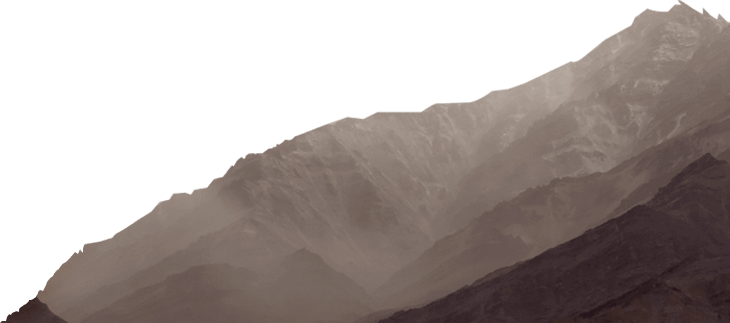
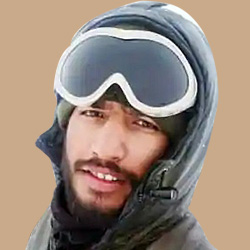
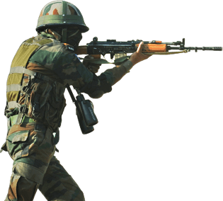
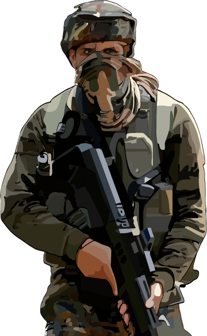
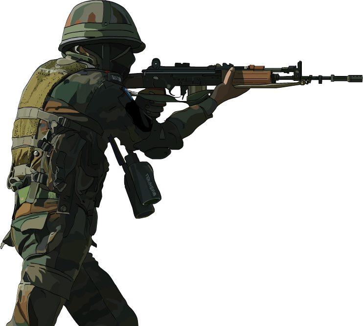
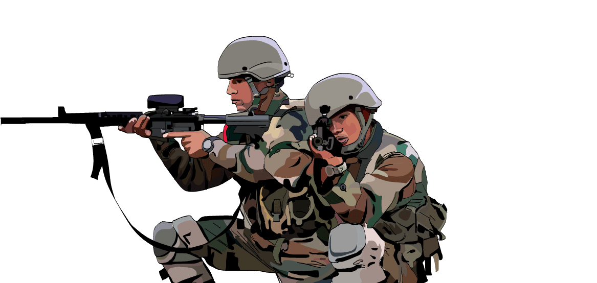
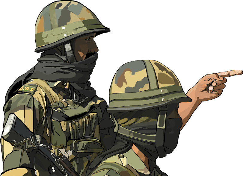
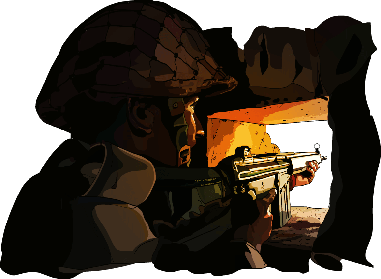
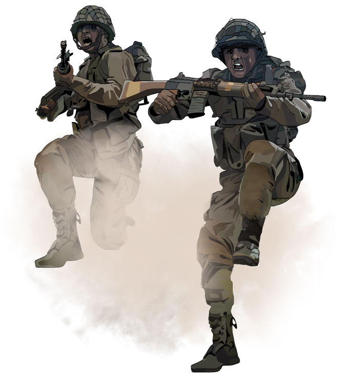
Indian soldiers are more experienced in battles than their Chinese counterparts. The Indian army is pressed into constant confrontation on the western border with Pakistan. They have experiences gained from the hostile low-oxygen Siachen Glacier. They are experts in mountain warfare. They are forever exposed to hostilities created by the terrorists in Jammu & Kashmir and the secessionists in the north eastern states. On the other hand, Chinese soldiers can only claim of experiences gained through military drills. China came out with a propaganda video which showed that they could swiftly transport army divisions to the Indian border from Wuhan, a few thousands of kilometres away. The video was just a psychological operation on their part to put pressure on the Indian soldiers. However, this is not at all practical in a real-time warfare scenario as the soldiers would barely be able to stand at the high altitude if they are transported directly from the plains of Wuhan.

India China war

China in the crosshairs

Apart from the five elements of India's strategy, the Indian defense forces will also be benefitted from a special training programme started in 2013 that targets China and Pakistan specifically. The swing operation method will allow the Indian Air Force to redeploy fighter planes, helicopters and personnel from the western frontier to the eastern frontier within 48 hours. The operation which was Pak-centric in the initial years has been turned more towards China recently.

Back to top